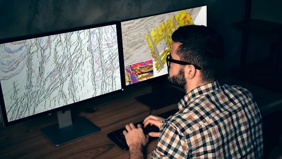
Delivering clear improvements in subsurface understanding in a very short period of time, it is more than just a timesaving, data management platform. By nature, its data-driven design enables more coverage of the data than traditional methods, improving feature detection. Its true value; effective and detailed characterisation of geological elements which can enhance or alter an operator’s understanding of the subsurface, making or breaking the investment.

Using the data you have collected, the data conformant approach identifies features in a fraction of the usual time with a greater level of accuracy. Results can then be optimised to add in greater clarity of detail and increase confidence levels when used in combination with traditional lines of geophysical imaging, such as spectral decomposition.
Take a look at our in-depth look at AI integration in the seismic interpretation workflow, for more information.
Integrate more data into subsurface discovery
Drive new levels of efficiency
Capture knowledge and experience
Maximise recovery
Increase operational efficiency
Minimise traditional interpretation costs
Operate safely and reliably
Now you’ve seen what Geoteric can do. It’s time to see Geoteric in action. Complete the form in order to transform your work, for smoother and more accurate interpretation and, ultimately, far better decision-making.
Don’t just take our word for it – see the impressive capabilities for yourself.