Case study Overcoming complex geological challenges with AI Horizons
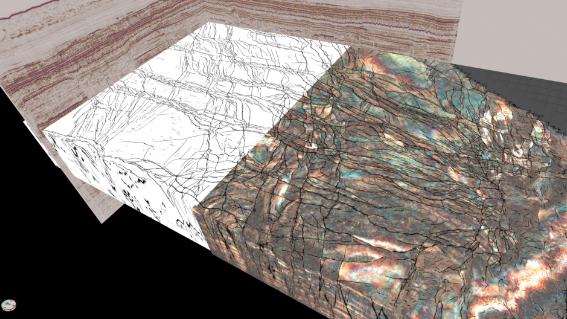
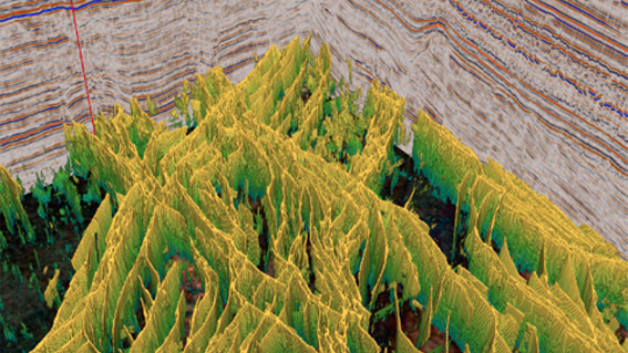
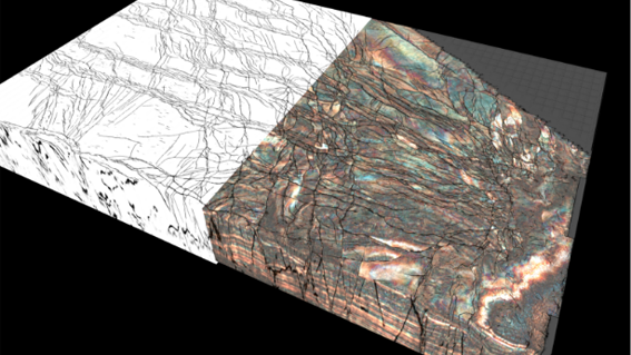
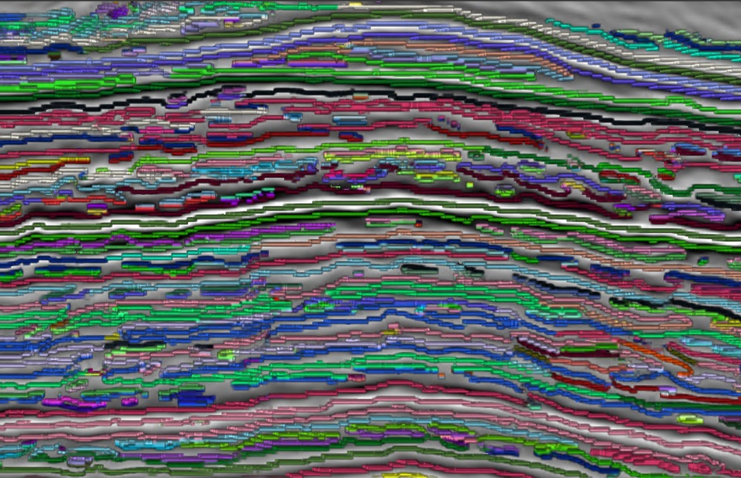
Often, crucial business decisions need to be made quickly and operators are turning to AI to gain more accurate insights delivered in days instead of months. Here, Geoteric AI Horizons rapidly identified boundary events within a turbidity current that define the submarine flow as well as internal features relevant to static and simulation modelling.
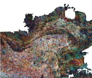
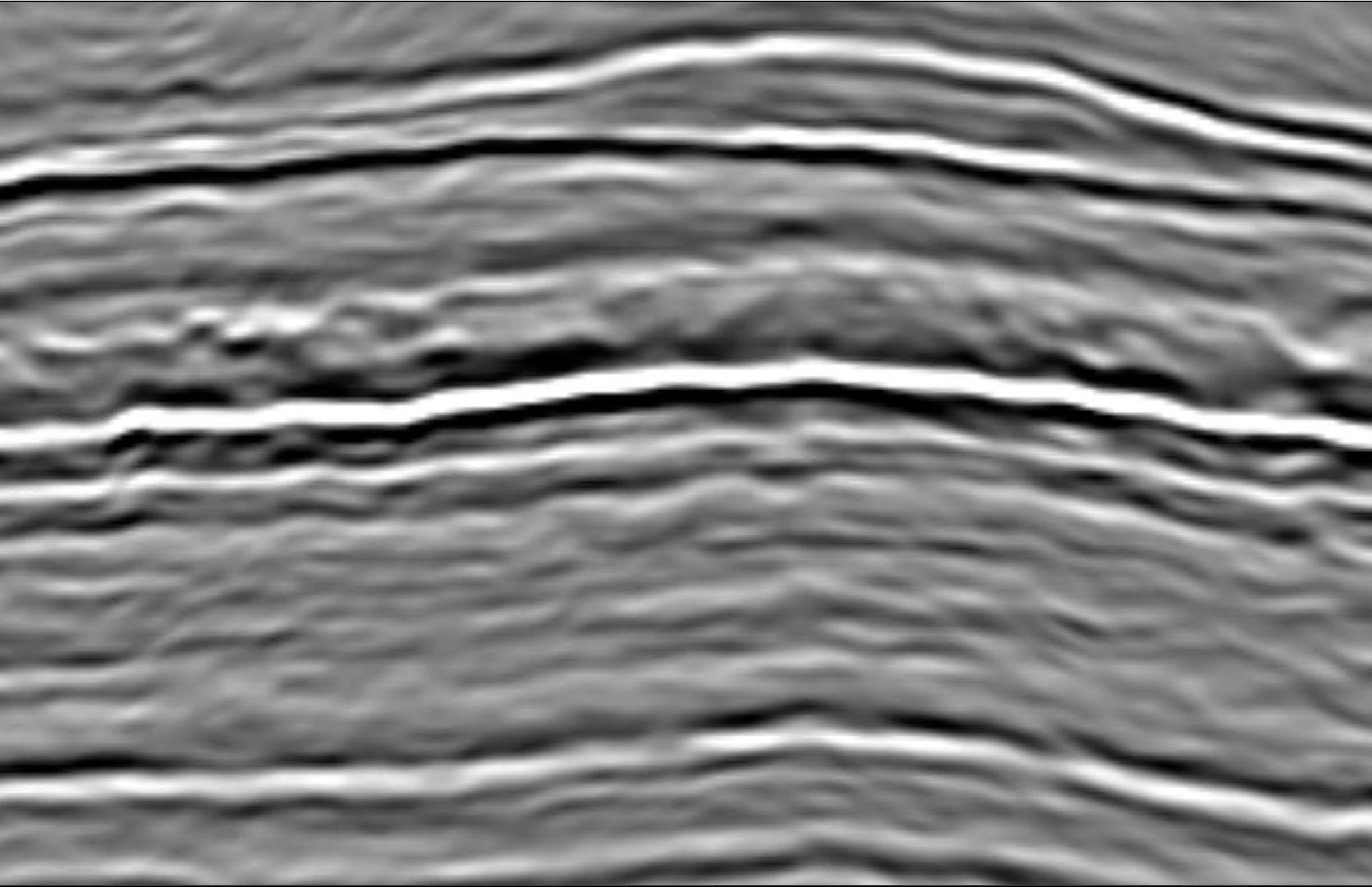
Submarine flows such as turbidity currents are notoriously difficult and time consuming to interpret manually
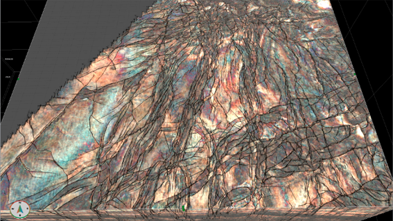
While upper and base events are normally well defined in seismic data, their internal complexity can be different and present a series of very challenging features, both laterally and vertically.
How can a detailed stratigraphic interpretation from a notoriously complex submarine flow in the Central North Sea be achieved in short timescales without compromising on accuracy?
Project Imagery
Image Title
Image Title
Image Title
Title
slider-img-5
Project Imagery
To manually interpret a complex submarine flow at this level of detail would take months, Geoteric AI Horizons identified internal heterogeneity in the debris flow, with a high level of geological accuracy in minutes.