Understanding the Earth is at the heart of what we do, whatever the application.
Plan and monitor your CCUS projects with confidence, helping to reduce greenhouse gas emissions.
Understand the geological and geotechnical risks at or below the seabed.
Reduce your carbon footprint through efficient well placement and by optimising existing fields.
Redirecting carbon dioxide (CO2) emissions deep below the surface will play a vital role in the energy transition.
A comprehensive understanding of the fault structure and other geological features is critical when deciding if an abandoned hydrocarbon field or saline aquifer is appropriate for storing CO2. If a fault zone has a low sealing capability, it could compromise the structure’s integrity for storage.
With the benefit of artificial intelligence (AI), Geoteric
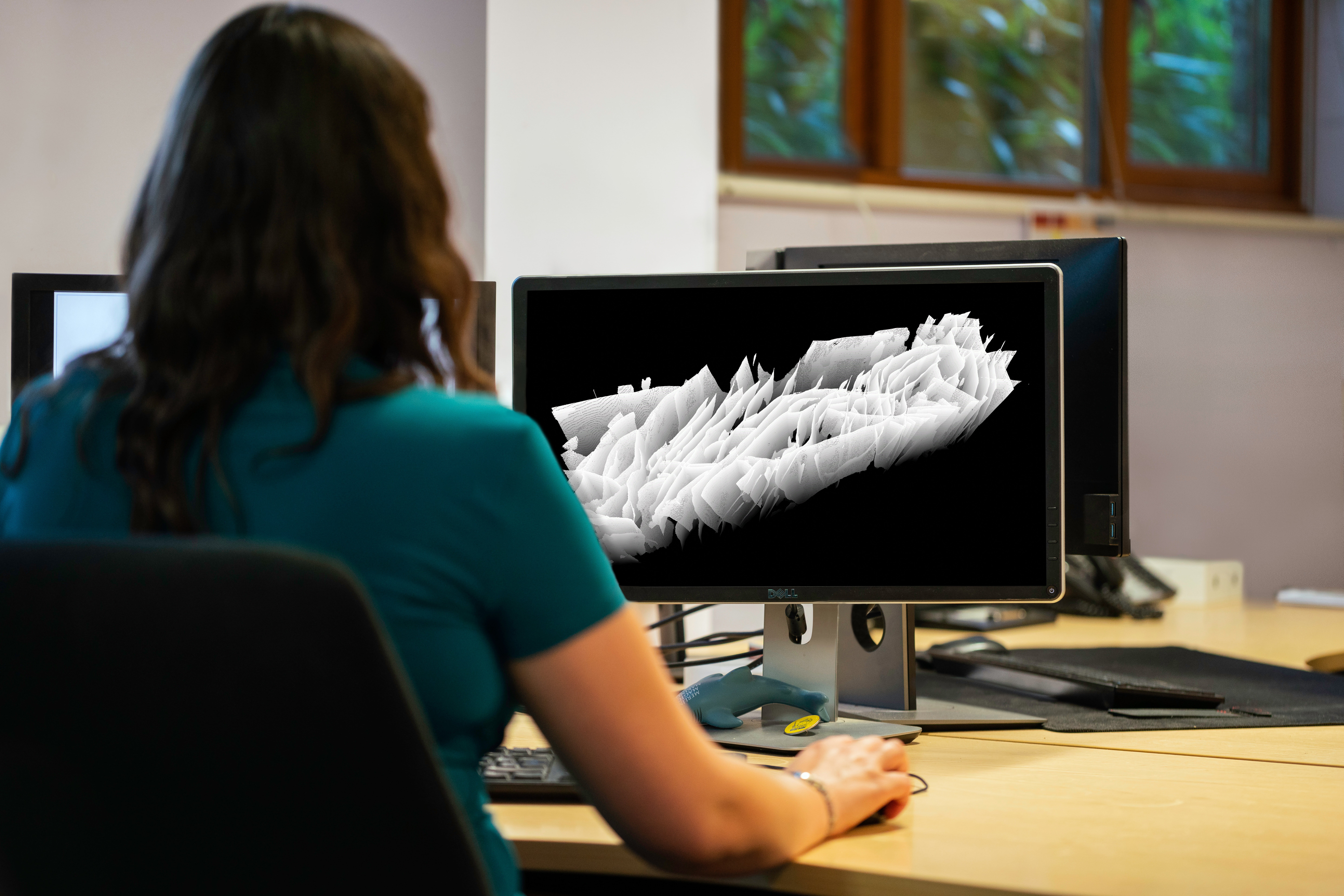
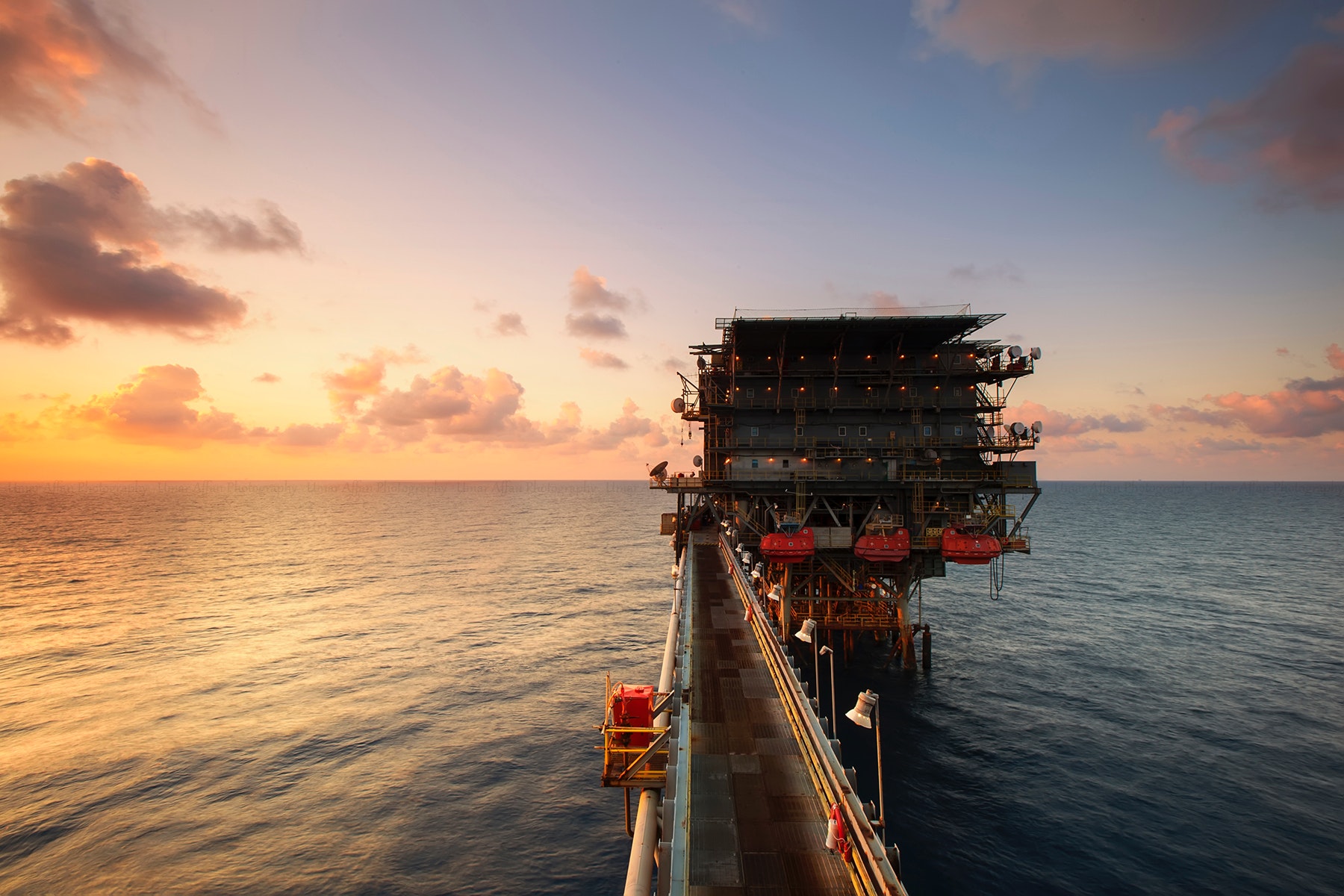
Operators of CCUS projects need to demonstrate through monitoring that the injected CO2 is safely contained within the geological store during and after injection, and no unexpected migration has occurred.
Remotely monitoring CO2 sequestration using non-invasive 4D seismic survey data can establish fluid movement, flow restrictions or challenges to the operation of the storage location.
Geoteric Stratum combines industry-leading 3D AI fault
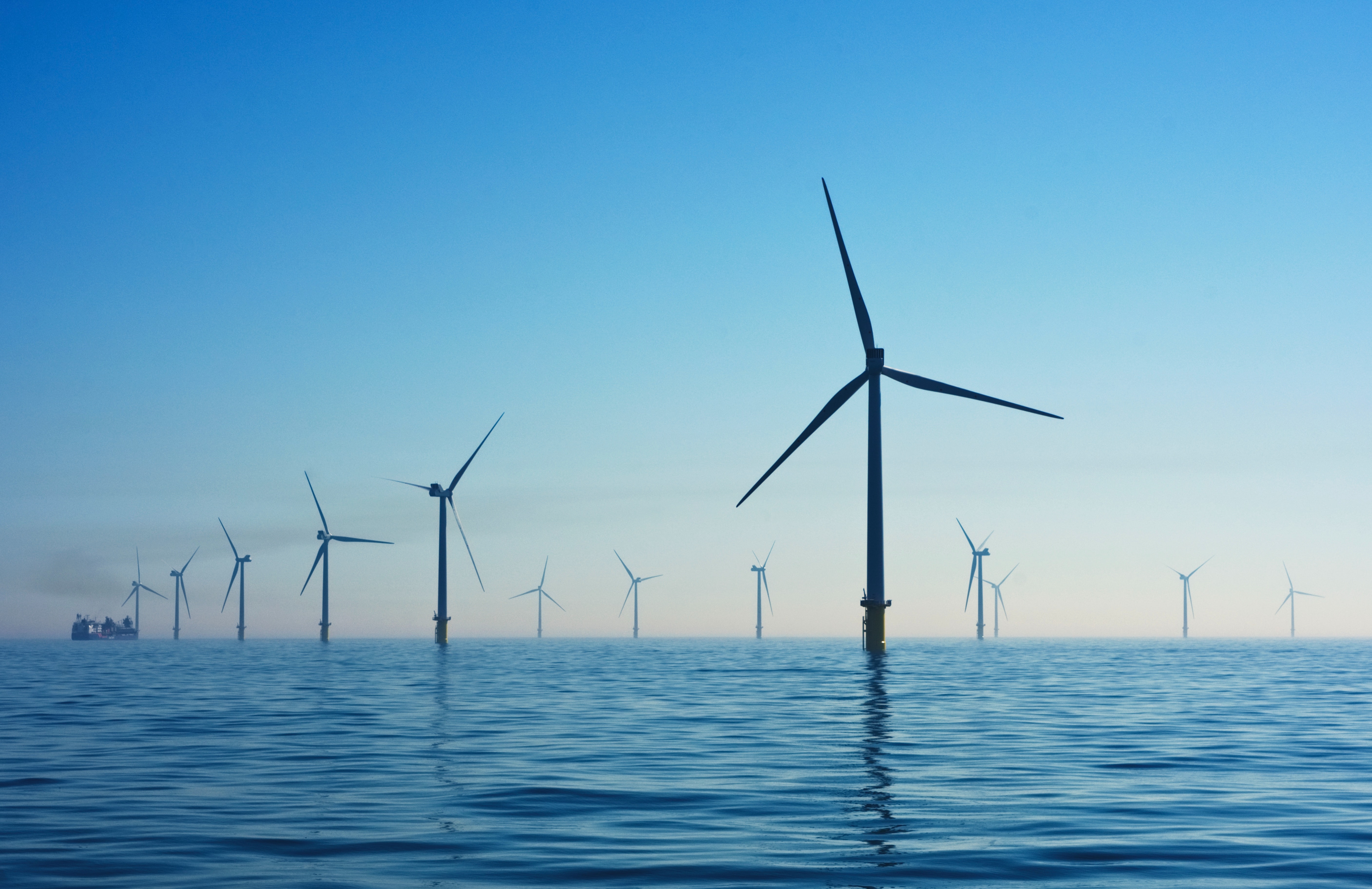
Energy generation from renewable sources such as offshore wind will continue to grow to meet international emission targets.
Engineers planning where to place wind turbines need geoscientists to provide them with comprehensive information about the geological and geotechnical risks at or below the seabed, which could impact safety, longevity, and the cost of infrastructure operations. Understanding the subsurface is critical.
Geoteric’s advanced interpretation workflow delivers a highly accurate visualisation of the subsurface with the help of AI, unlocking new insights from your seismic data to identify shallow hazards and de-risk the project.
Download the latest case study demonstrating the value of using Geoteric when planning your next wind farm project.
Operators can reduce their carbon footprint by improved well planning, to get it right the first time. Fully understanding the subsurface is crucial for effective well placement.
Using the power of AI, Geoteric Stratum can identify faults along potential well trajectories that traditionally would be considered below seismic resolution. Avoiding such hazards reduces the number of lost wells, lowering the time, cost and associated CO2 emissions when developing a field.
Greenhouse gas emissions are generally kept lower by optimising the reserves from existing hydrocarbon fields compared to developing new fields.
Likewise, it is less expensive and better for the environment to fully leverage the information held within your exiting seismic data, than to reprocess it or commission a new survey.
Geoteric’s AI-driven technology analyses 100% of the seismic cube, enabling geoscientists to deliver
far better interpretations than previously possible, improving production efficiency and operational safety.
Optimise the value that exists in your data and assets using Geoteric Stratum. Available across a range of flexible SaaS plans or as a consultancy service, choose a solution that best suits your needs.