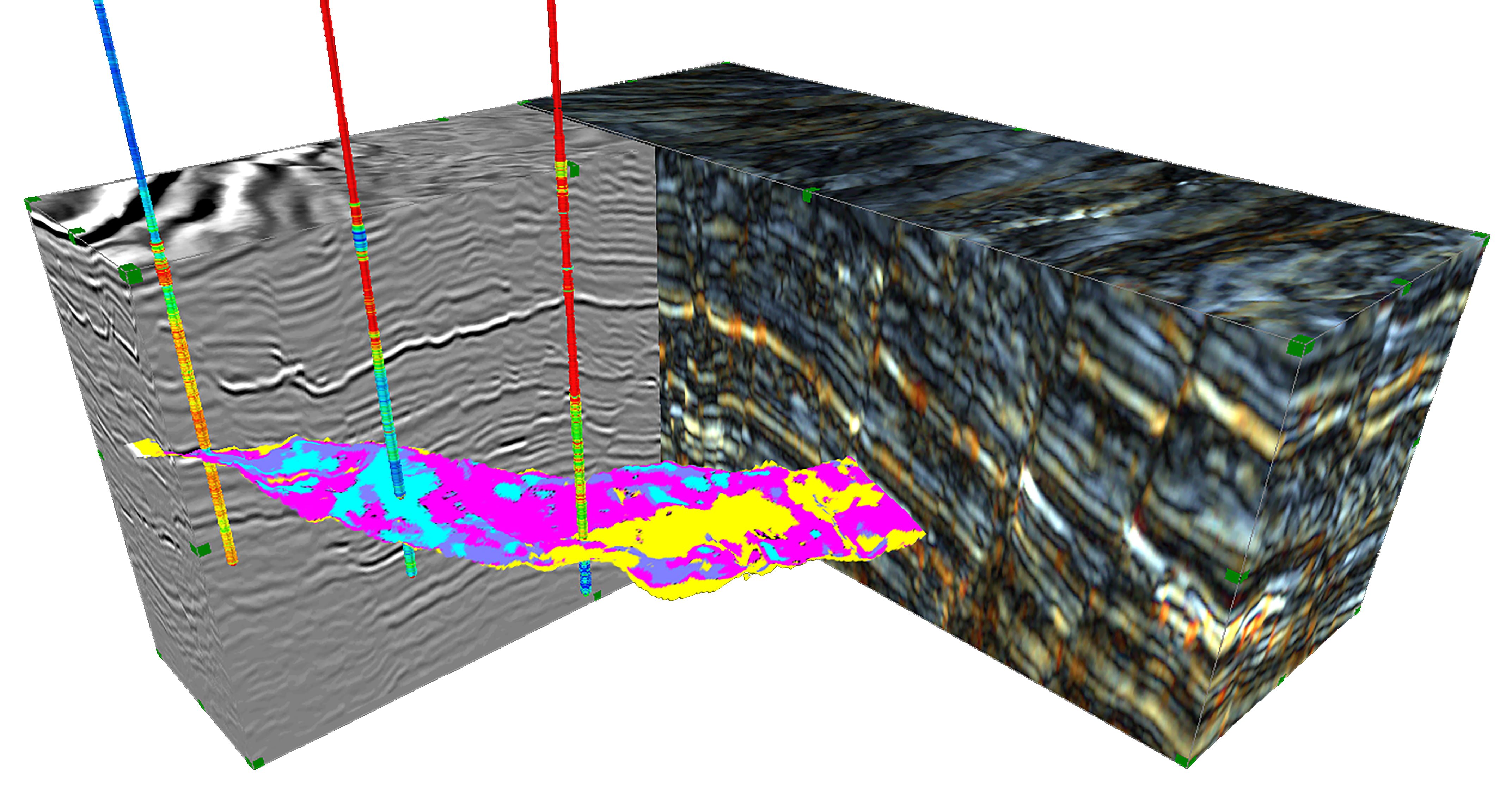
Interrogate the geophysicaI response with intuitive data-driven and semi-supervised tools, while maintaining the geological context.

Seismic Facies Classification and attribute Scatterplot
Correlating your well-data with the seismic and attribute response, to build appropriate reservoir models. Any classified volume honours all your available data while incorporating your own expert understanding of what is geologically feasible.
User-guided hierarchical facies classification for regional and reservoir level classification.
Works on attribute and RGB data, with incorporated well-visualisation and scatterplot functionality
Classes can be defined by well-marker pairs or interpreter selection
Scatterplot shows attribute – well log relationship, in addition to defined facies
Easily combined with Adaptive Geobodies to constrain the classification.
Resulting facies model can be used in a 3rd party reservoir model for simulation.
Now you’ve seen what Geoteric can do. It’s time to see Geoteric in action. Complete the form in order to transform your work, for smoother and more accurate interpretation and, ultimately, far better decision-making.
Don’t just take our word for it – see the impressive capabilities for yourself.