Maximising the value of AI for shallow geohazard identification
In the offshore environment, geophysical site surveys are a crucial requirement before the installation of subsea infrastructure. Understanding the seabed and shallow subsurface conditions is critical to avoiding many types of geohazards that could impact the safety, cost of engineering operations and the longevity of the structures being installed. Examples of such installations include wind farms, pipelines, cable routes, drilling rigs, platforms, and associated infrastructure.
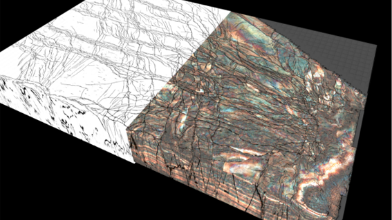
Algorithms and workflows using machine learning and AI ensure rapid, accurate and unbiased delineation and segmentation of the identified geohazard features. Knowing the risks, engineers can make sure that infrastructure is installed safely, potentially saving lives and investments.
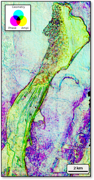
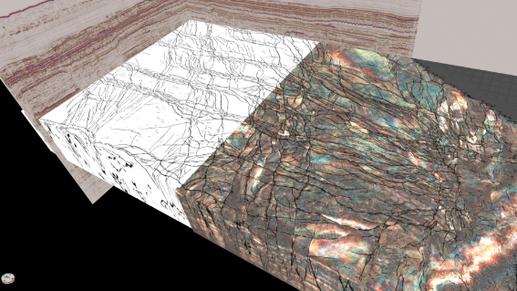
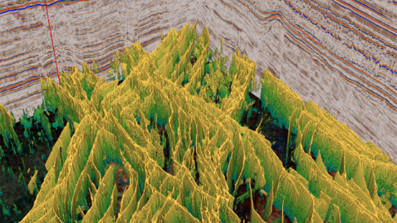
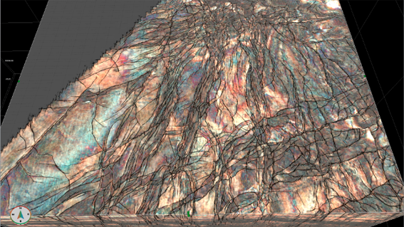
Advanced seismic interpretation techniques were applied using Geoteric. Tools typically used to help the characterisation of deeper-seated hydrocarbon reservoirs were utilised on 3D seismic data for shallow sub-seabed geohazard assessment.
High-resolution seismic attributes, enhanced visualisation, machine learning-based techniques and artificial intelligence (AI) are used for imaging and delineation of multiple different geohazards in different datasets from around the globe. Click here to read the case study in full.